Auraiya, a district in Uttar Pradesh, India, is a blend of history, culture, and modern aspirations. Formed in 1997 from Etawah district, it sits on National Highway 19, connecting it to Kanpur and Etawah. Known for its rich traditions, rivers, and growing economy, Auraiya is home to 1.38 million people. This article explores the district’s history, geography, economy, demography, and politics, painting a picture of a place rooted in the past yet reaching for progress. From ancient rulers to modern industries, Auraiya’s story is one of resilience and diversity.
History of Auraiya
Auraiya’s history stretches back to ancient times when it was part of the Panchala kingdom. Ruled by Marathas until 1762, it saw invasions by Rohillas, who took control under Inayat Khan. Zamindars resisted, but peace was made through talks. In 1997, Auraiya and Bidhuna tehsils split from Etawah to form the new district. Its heritage shines through temples like Devkali, built by Sengar Rajputs. The district’s past, marked by battles and cultural growth, shapes its identity today, with folk music and dances like Banjasha keeping traditions alive.
Ancient Roots and Panchala Kingdom
Auraiya was part of the ancient Panchala kingdom, a significant region in early Indian history. Sengar Rajputs, including King Vishok Dev, left their mark, with the Devkali temple built for his wife, Devkala. This temple remains a cultural landmark, tying Auraiya to its royal past. The district’s history reflects a mix of valor and spirituality, with stories of local warriors shaping its legacy.
Rohilla Rule and Modern Formation
In 1760, Ahmad Shah Durrani’s invasion led to Rohilla control under Inayat Khan. Despite tensions with local zamindars, agreements were reached. Auraiya remained part of Etawah until 1997, when it became a separate district with Auraiya town as its headquarters. This shift marked a new chapter, boosting local governance and identity.
Geography of Auraiya
Auraiya lies in southwestern Uttar Pradesh, in the Indo-Gangetic Plain, covering 2,054 sq km. Located at 26.47°N and 79.52°E, it has an elevation of 133-146 meters. The Yamuna River, with tributaries like Chambal and Sengar, shapes its fertile landscape. Surrounded by Kannauj, Etawah, Kanpur Dehat, and Jalaun, it enjoys good connectivity via National Highway 19. The climate is humid subtropical, with hot summers (up to 45°C) and cold winters (down to 3°C). Monsoons bring 792 mm of rain, vital for farming.
River Systems and Terrain
The Yamuna, spanning 112 km in Auraiya, along with the Chambal, Kuwari, Sengar, and Arind rivers, supports agriculture. The district’s flat terrain, part of the Gangetic Plain, varies with ravines and fertile soils. Some areas have barren “usar” land due to saline soil, covering 8,221 hectares in 1998, impacting farming.
Climate and Connectivity
Auraiya’s climate sees high humidity in monsoons and dry summers. Winds blow from southwest to northwest, with August being the rainiest month. National Highway 19 and railway stations like Phaphund and Achalda connect Auraiya to Kanpur (105 km) and Lucknow (173 km). The district’s location makes it a key transport hub.
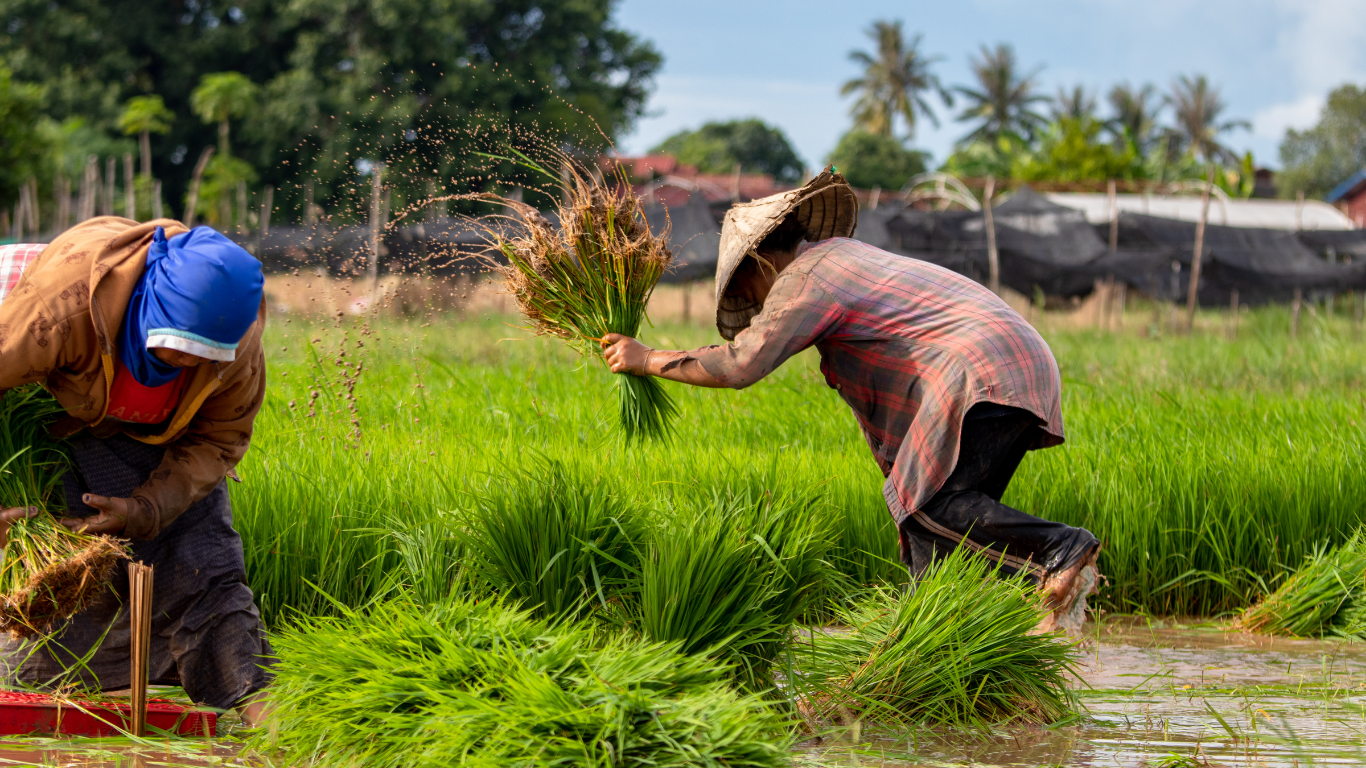
Economy of Auraiya
Auraiya’s economy relies heavily on agriculture, with crops like paddy, wheat, gram, and maize driving livelihoods. Small-scale industries, like wooden furniture and ghee production, are notable, with Dibiyapur hosting major plants like NTPC’s 663 MW power plant and GAIL’s petrochemical complex. Handloom cloth production is also growing. The district exports rice, pulses, and ghee to states like Bihar and Madhya Pradesh. Despite industrial growth, Auraiya is listed as backward in industry by the state, needing more investment to boost jobs.
Agricultural Backbone
Agriculture employs most of Auraiya’s people. Paddy, wheat, and pulses thrive due to canal irrigation, replacing older well systems. The district’s fertile soils support double cropping, with Kharif, Rabi, and Zaid harvests. In 1990-91, 141,624 hectares were cultivable, but sandy or saline lands pose challenges. Farming remains the economic heart.
Industrial Growth in Dibiyapur
Dibiyapur is Auraiya’s industrial hub, home to NTPC’s power plant and GAIL’s petrochemical and gas compressor units. These public sector enterprises create jobs and boost the economy. Small-scale industries, like steel furniture and cement products, rely on raw materials from Agra and Kanpur. Wooden furniture from Auraiya city is popular in nearby districts.
Demography of Auraiya
Auraiya’s population, per the 2011 census, is 1,379,545, similar to Eswatini. With a density of 681 people per sq km, it ranks 357th in India. The sex ratio is 864 females per 1,000 males, and the literacy rate is 80.25%. About 17% live in urban areas. Hindus, Muslims, Sikhs, Christians, Jains, and Buddhists coexist, with Hindi and Urdu as main languages. The population grew 16.3% from 2001 to 2011, reflecting steady growth.
Cultural Diversity
Auraiya is a cultural melting pot. Folk music like Rasiya and Kajari, and dances like Banjasha, are vibrant. Temples like Phoolmati and Kali Mata draw visitors, reflecting the district’s spiritual side. People of various faiths live together, celebrating festivals that showcase Auraiya’s rich traditions and unity.
Population Trends
The 2011 census shows Auraiya’s population at 1.38 million, with a 16.3% growth rate over a decade. Urban areas, like Auraiya town, house 17% of residents. The literacy rate of 80.25% is strong, but the low sex ratio of 864 highlights gender challenges. These trends shape local policies and development plans.
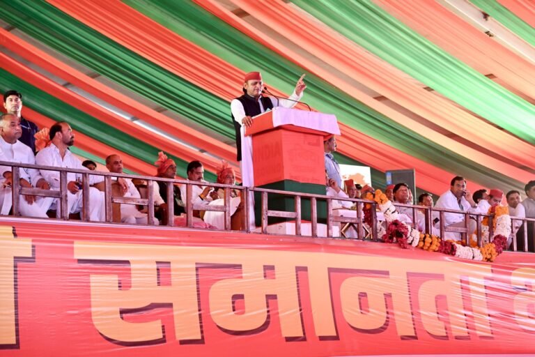
Politics and Administration
Auraiya is part of Kanpur Division, with three tehsils: Auraiya, Bidhuna, and Ajitmal, and seven blocks. The Auraiya Nagar Palika Parishad, with 25 wards, elects members every five years. The district falls under Etawah and Kannauj Lok Sabha constituencies, with BJP’s Ramshanker Katheriya and Subrat Pathak as MPs. In 2017, BJP won all three assembly seats. The district court, established in 1998, serves justice. Auraiya’s politics reflect local and national dynamics, with SP and BSP also active.
Local Governance
Auraiya’s Nagar Palika Parishad manages local issues through 25 elected ward members, with one chosen as chairman. The district has seven administrative blocks, ensuring smooth governance. The Krishi Vigyan Kendra, set up in 2007, supports farmers. Local bodies focus on infrastructure, education, and welfare, shaping Auraiya’s growth.
Political Landscape
The BJP dominates Auraiya’s politics, winning all assembly seats in 2017. SP and BSP remain strong contenders, reflecting diverse voter preferences. The Etawah Lok Sabha seat, reserved for Scheduled Castes, is held by Ashok Kumar Doharey (BJP). Political debates often center on development, with infrastructure and jobs as key issues.
Tourism and Cultural Attractions
Auraiya’s heritage draws tourists, with 711,857 domestic visitors in 2021. Temples like Devkali, Phoolmati, and Sankat Mochan are spiritual hubs. The National Chambal Sanctuary, 30 km away, is home to the rare Gangetic dolphin, attracting nature lovers. Folk music and dances like Unchari add charm to festivals. The district’s historical sites and vibrant culture make it a hidden gem for travelers seeking history and spirituality.
Key Tourist Spots
Temples like Devkali, built by Sengar Rajputs, and Kali Mata are must-visits. The Chambal Sanctuary offers wildlife experiences, with dolphins and birds. Historical villages like Ayana and Bharthana add depth to Auraiya’s appeal. These sites blend faith, history, and nature, drawing diverse visitors.
Cultural Festivals
Auraiya’s festivals are lively, with folk music like Allaha and dances like Banjasha. Religious events at temples unite communities. The district’s cultural vibrancy, rooted in its diverse population, makes festivals a key attraction, showcasing local art, food, and traditions to tourists and locals alike.
Challenges and Future Prospects
Auraiya faces challenges like industrial backwardness and saline wastelands, limiting growth. With only 70 registered companies, more investment is needed. Infrastructure, like roads and canals, has improved, but rural areas lag. The government’s focus on projects like Bharatmala could boost connectivity. Auraiya’s future lies in balancing agriculture with industry, improving education, and preserving its heritage. With its rich culture and strategic location, the district has potential to shine as a hub of growth and tourism.
Industrial Backwardness
Auraiya is listed as industrially backward, with limited large-scale industries beyond Dibiyapur’s NTPC and GAIL plants. Small-scale units like furniture and ghee production thrive, but more investment is needed to create jobs and reduce reliance on agriculture. This gap hinders economic growth for many residents.
Environmental and Land Issues
Saline wastelands (8,221 hectares) and ravines reduce cultivable land, hurting farmers. Deforestation and soil erosion are concerns, with 16,949 hectares under non-agricultural use. Sustainable practices and government aid for land reclamation could help, but progress is slow, impacting rural livelihoods.